- Dokumenttyp:
- Kartierung
- Titel:
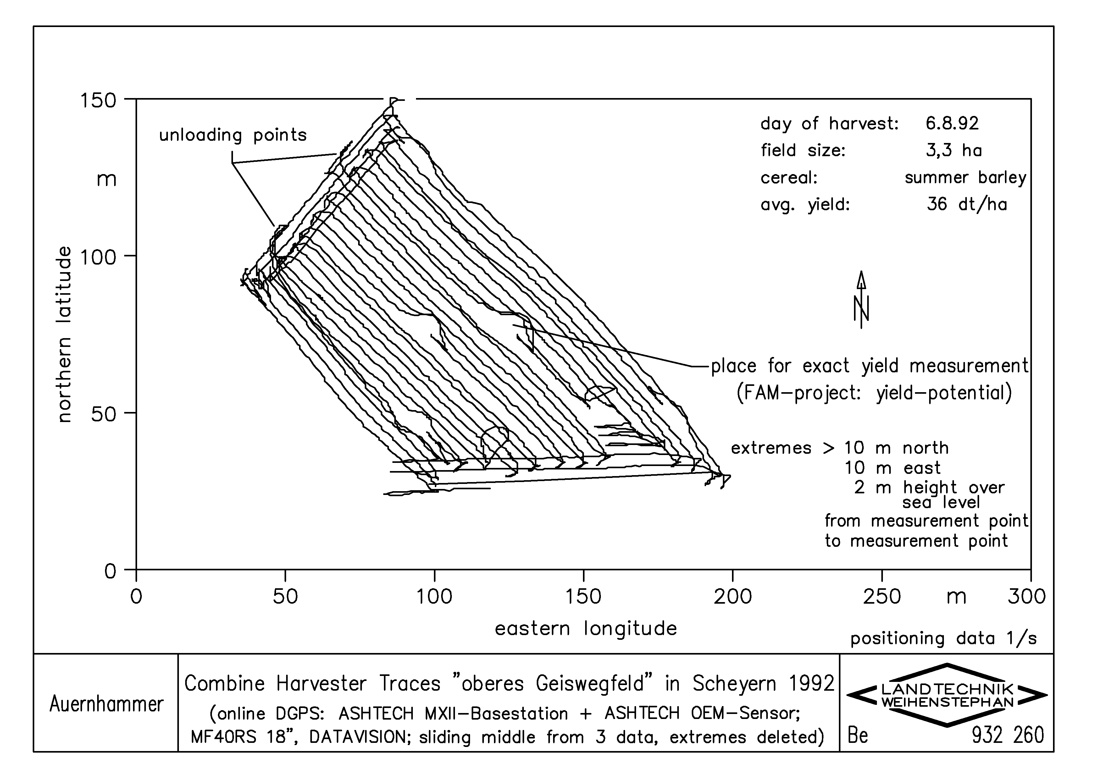
- Combine Harvester Traces "oberes Geiswegfeld" in Scheyern 1992 (online DGPS: ASHTECH MXII - Basestation + ASHTECH OEM - Sensor, MF40RS 18, DATAVISION, sliding middle from 3 data, extremes deleted)
- Schlagworte:
- Informationstechnik; Sensortechnik; Mähdrescher selbstfahrend; Globales Positionierungssystem (GNSS); Dokumentation
- Schlagworte (engl.):
- Information technology; Sensor technology; Self-propelled combine harvester; Global Navigation Satellite System (GNSS); Ducumentation
- Autor/en:
- Auernhammer, H.
- Jahr:
- 1993
- Genaues Erstellungsdatum:
- 16.08.1993
- Marke:
- Ashtech; Massey Ferguson; Datavision
- Sprache:
- en
- Farbe:
- schwarzweiß
- Hinweise:
- dwg File in Attachment
- Thema:
- Dias (englisch)
- Zeichner:
- Berchtold, M.
- Herkunft:
- Institut für Landtechnik TUM / Zeichenbüro
- Erfassungsjahr:
- 2004
- Zitation:
- http://mediatum.ub.tum.de/export/710133/citation