- Dokumenttyp:
- Kartierung
- Titel:
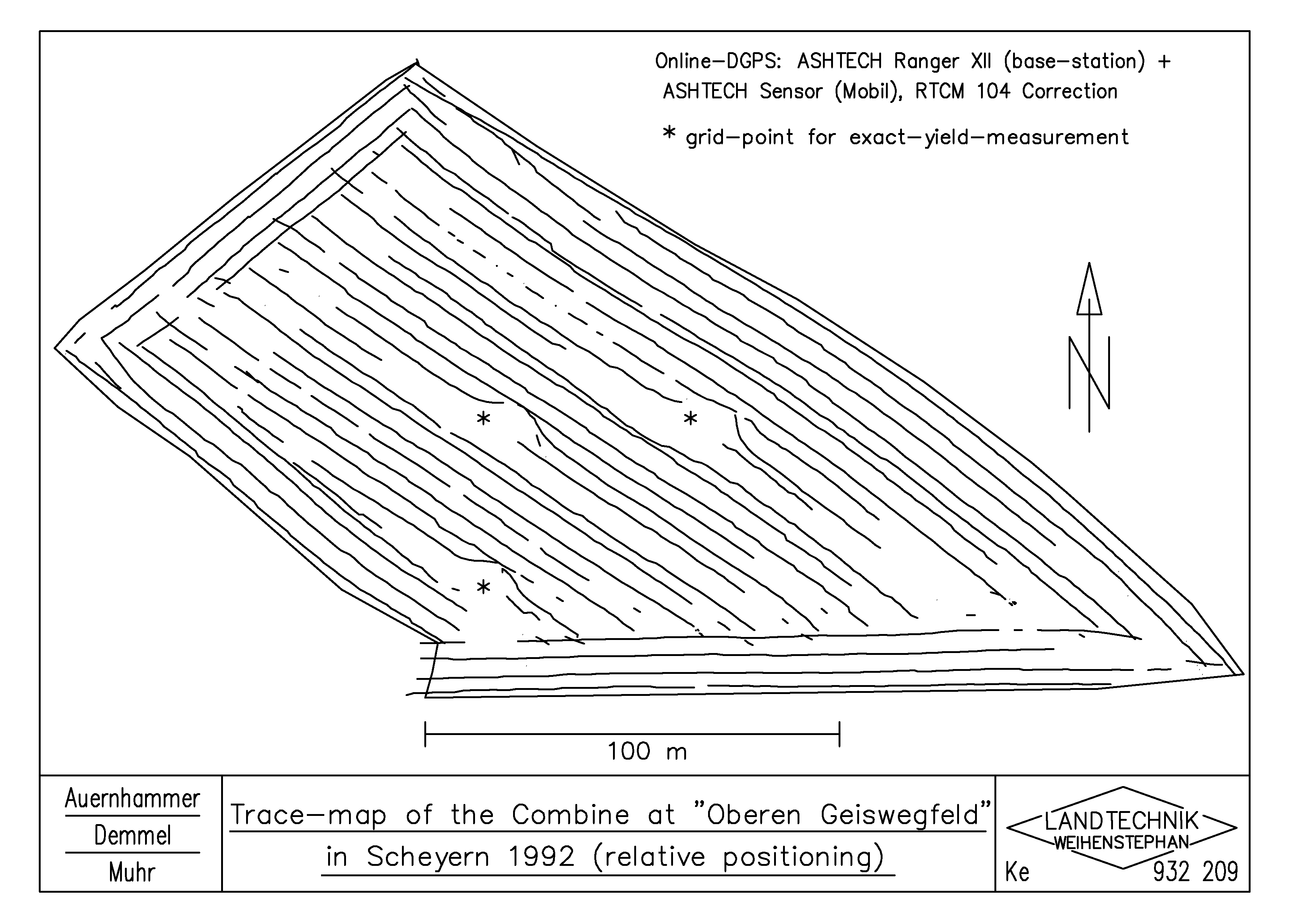
- Trace-map of the Combine at "Oberen Geiswegfeld" in Scheyern 1992 (relative positioning)
- Schlagworte:
- Informationstechnik; Sensortechnik; Mähdrescher selbstfahrend; Globales Positionierungssystem (GNSS); Dokumentation
- Schlagworte (engl.):
- Information technology; Sensor technology; Self-propelled combine harvester; Global Navigation Satellite System (GNSS); Ducumentation
- Autor/en:
- Auernhammer, H.; Demmel, M.; Muhr, T.
- Jahr:
- 1993
- Genaues Erstellungsdatum:
- 29.06.1993
- Sprache:
- en
- Farbe:
- schwarzweiß
- Hinweise:
- dwg File in Attachment
- Thema:
- Dias (englisch)
- Zeichner:
- Keller, H.
- Herkunft:
- Institut für Landtechnik TUM / Zeichenbüro
- Erfassungsjahr:
- 2004
- Zitation:
- http://mediatum.ub.tum.de/export/710128/citation